I’ve been writing a lot about population density at the moment and it got me thinking about density in Ireland. We all know we’re pitiful in terms of other European countries and we know from census 2016 that we’re sitting at 70 persons per km². What I’m curious about is what’s the densest square kilometre in each county?
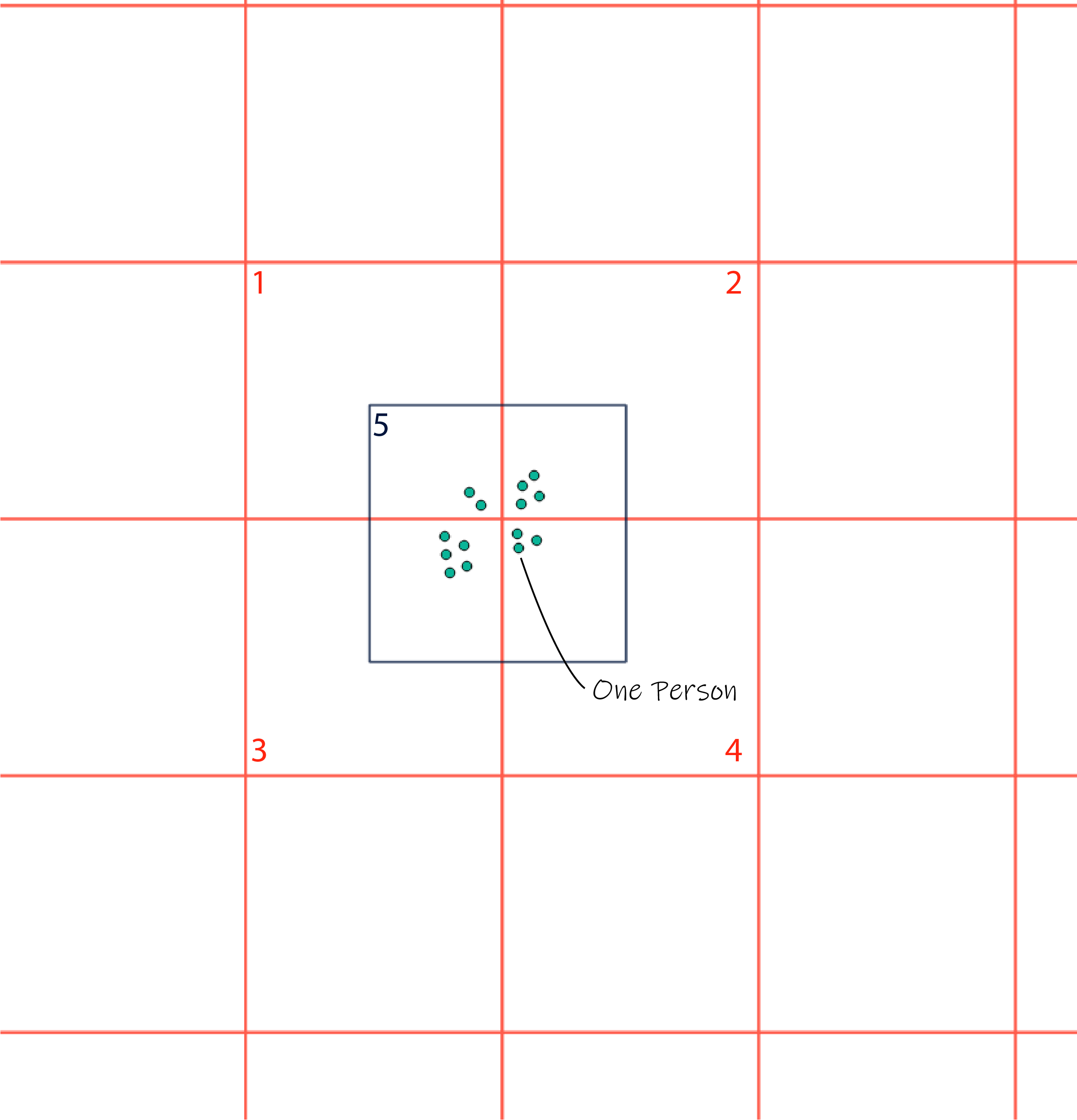
It is import to note that the densest square kilometre in each county below is the densest square kilometre from a predefined 1km² grid for the entire country which is manifestly different from the true densest square kilometre in each county but it’s the best data I have access to as a member of the public. If you want to read more about this issue it’s called the modifiable areal unit problem. A simple image to explain this is show below. From a predefined grid that’s draped over the country we can see that cell 3 would be the most dense 1km² however if a cell was placed where cell 5 is we can see that it would be densest 1km² by a large amount, that in a nutshell is the MAUP problem.

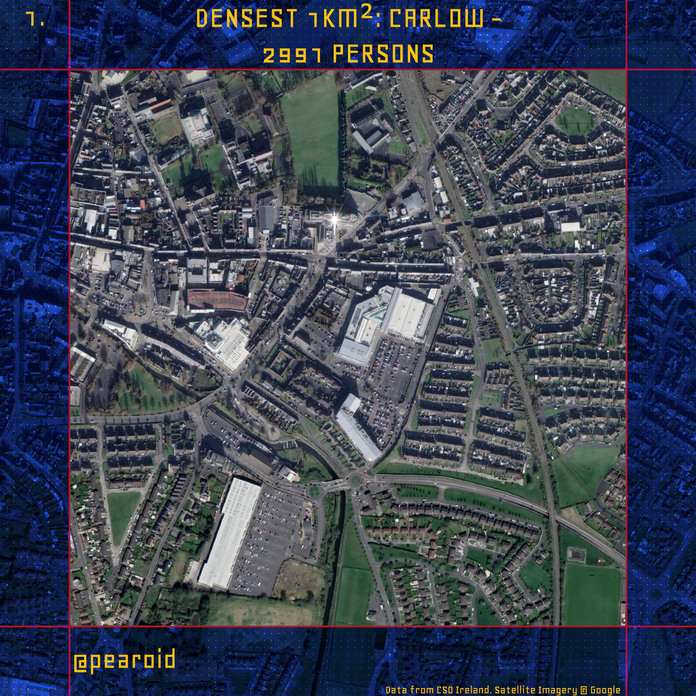
I used the ’16 census data to generate the below maps to answer the question for each county. What clearly stands out for me is that for a lot of counties it’s housing estates that make up the densest square kilometre. Hopefully with Project Ireland 2040 now in place we can start to do better and go towards sustainable densities throughout the country.

Hyperlinks to maps for each of the other counties:
- Carlow
- Cavan
- Clare
- Cork
- Donegal
- Dublin
- Galway
- Kerry
- Kildare
- Kilkenny
- Laois
- Leitrim
- Limerick
- Longford
- Louth
- Mayo
- Meath
- Monaghan
- Offaly
- Roscommon
- Sligo
- Tipperary
- Waterford
- Westmeath
- Wexford
- Wicklow
I realised with the above images that I forgot to include part of the label that showed where in each county the location was. Below are the same maps as above but they now include the location and the lat, long for each square kilometre. Maybe both versions can be used for a very nerdy quiz??