Normally with somebody asks me to undertake a quick bit of analysis it usually involves, ‘Can I see all of x features that are with 2000m of this location?’. The other day I got asked: ‘Can you give me a spreadsheet showing all locations of x within a 12 minute drive of this location?’. I thought about it and I knew for a quick piece of analysis like this I didn’t need to/have time to setup pgRouting or ESRI’s ArcGIS API for Python.
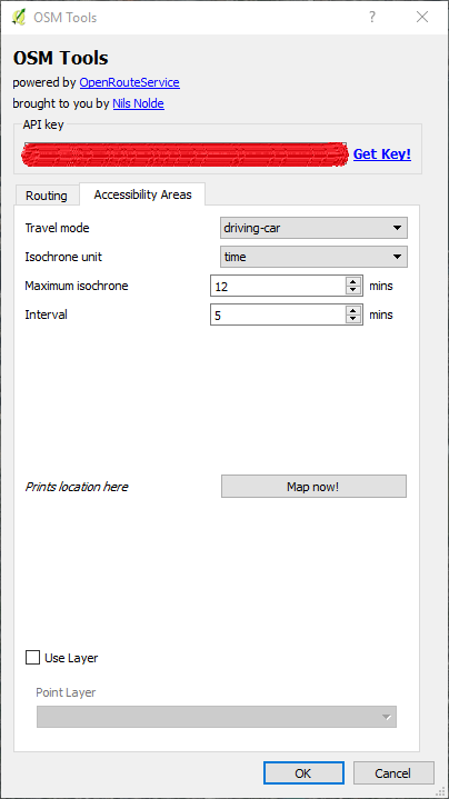
I did a quick search and found the OSM Tools plugin for QGIS and after a quick visit to OpenRouteService to get an API key and I was in business. After I installed the plugin and entered by API key I only had to click a point on the map to generate my isochrone as shown below.
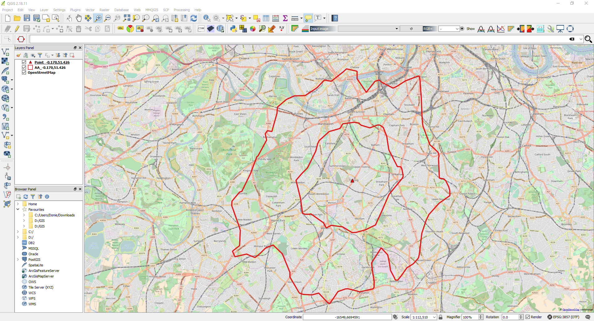
The results are shown below, they are temporary layers that can be permanently saved if necessary.
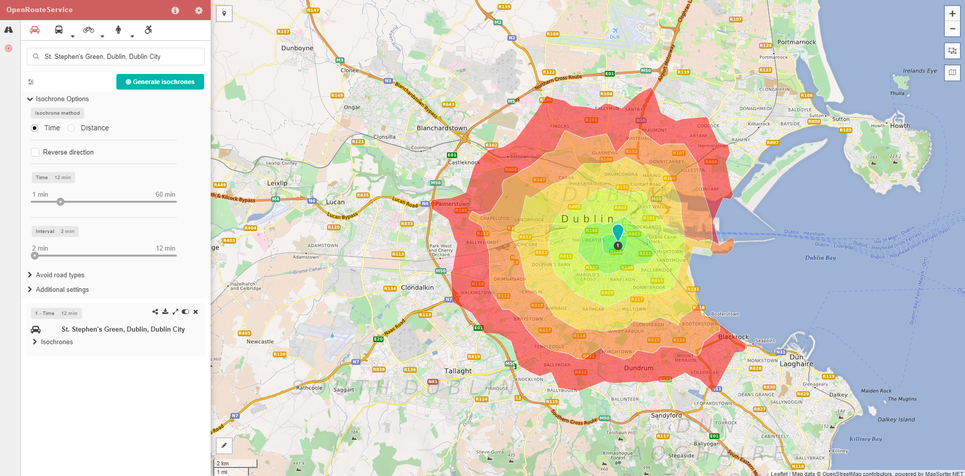
Lastly, in case QGIS is giving any hassle, the isochrone can be generated online and downloaded as a geojson, test shown below for a random location in Dublin.