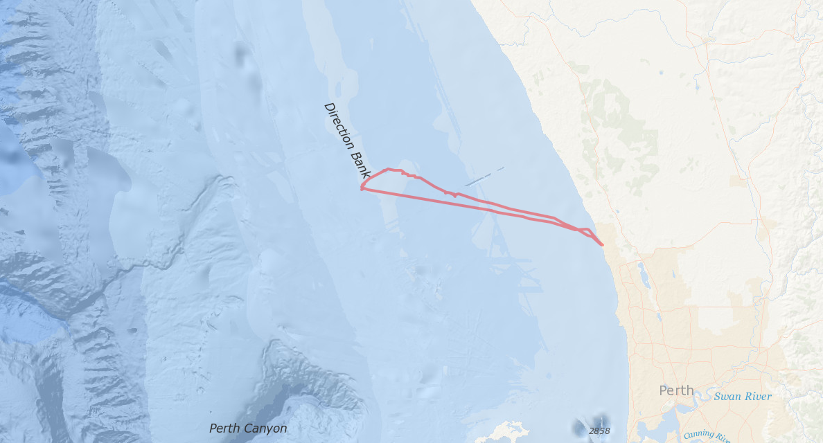
I spent a month over Christmas with my other half and her family in Western Australia, I had my trusty (albeit pushing on in years now) Garmin GPS 60CSX on me and used it to record a track of a day we spent on a chartered fishing excursion. I brought the .gpx into ArcMap and saved it as a shape which I then converted to a geojson file using ogr2ogr.
ogr2ogr -f GeoJSON fishing.geojson Fishing_1.shp
I then decided to a create a simple webmap of the trip using leaflet. After successfully creating the map I realised that the ocean basemap that I used for that part of Western Australia didn’t have enough detail so I redid the whole thing using ESRI leaflet. I loaded the geojson externally from a file and added a popup with the distance travelled.