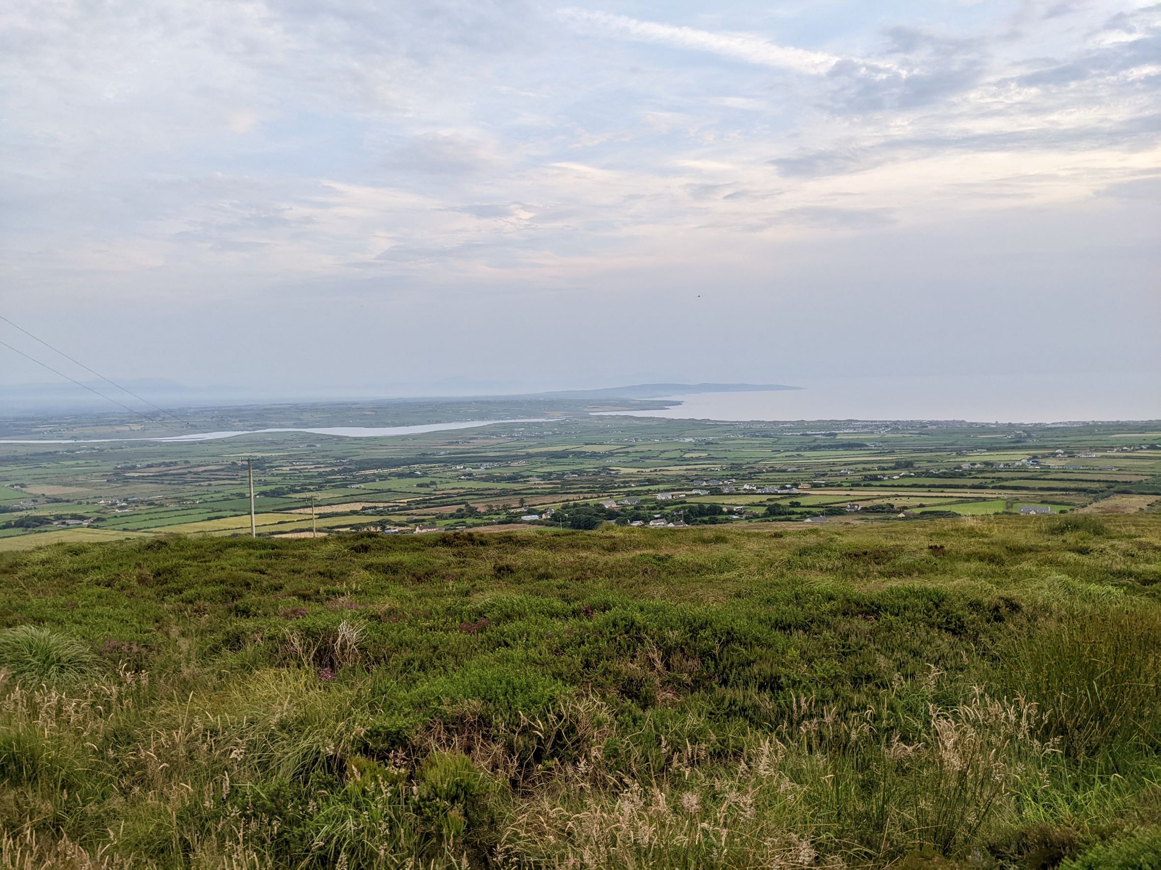
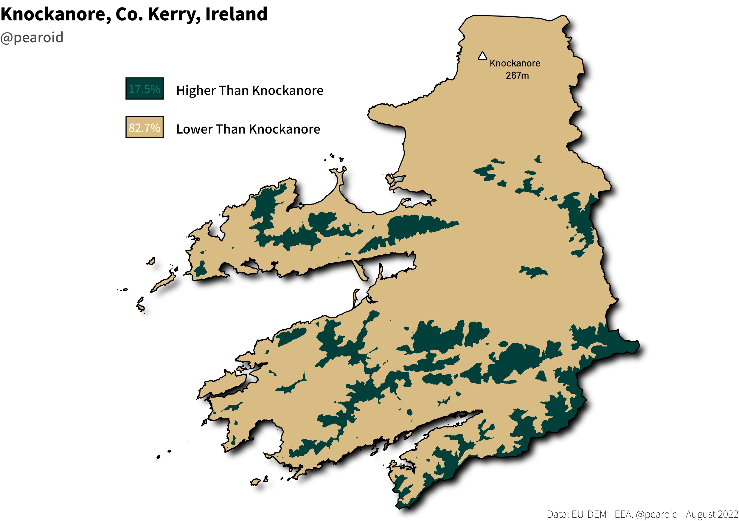
I was home recently and drove up to the top of Knockanore, a hill just outside Ballybunion, Co. Kerry. Its elevation is 267m and is by far the highest hill in this part of North- Kerry. This got me curious — how much of Kerry is greater or less than this elevation? Below is a quick map I put together from the EU-DEM courtesy of the European Environmental Agency. It turns out 267m is higher than 82.7% of the county, interesting. There’s a story that does the rounds colloquially in North Kerry that, on a clear day, it’s possible to see five counties from this elevation. If I’ve time in the next few weeks I’d like to create a viewshed to test this.