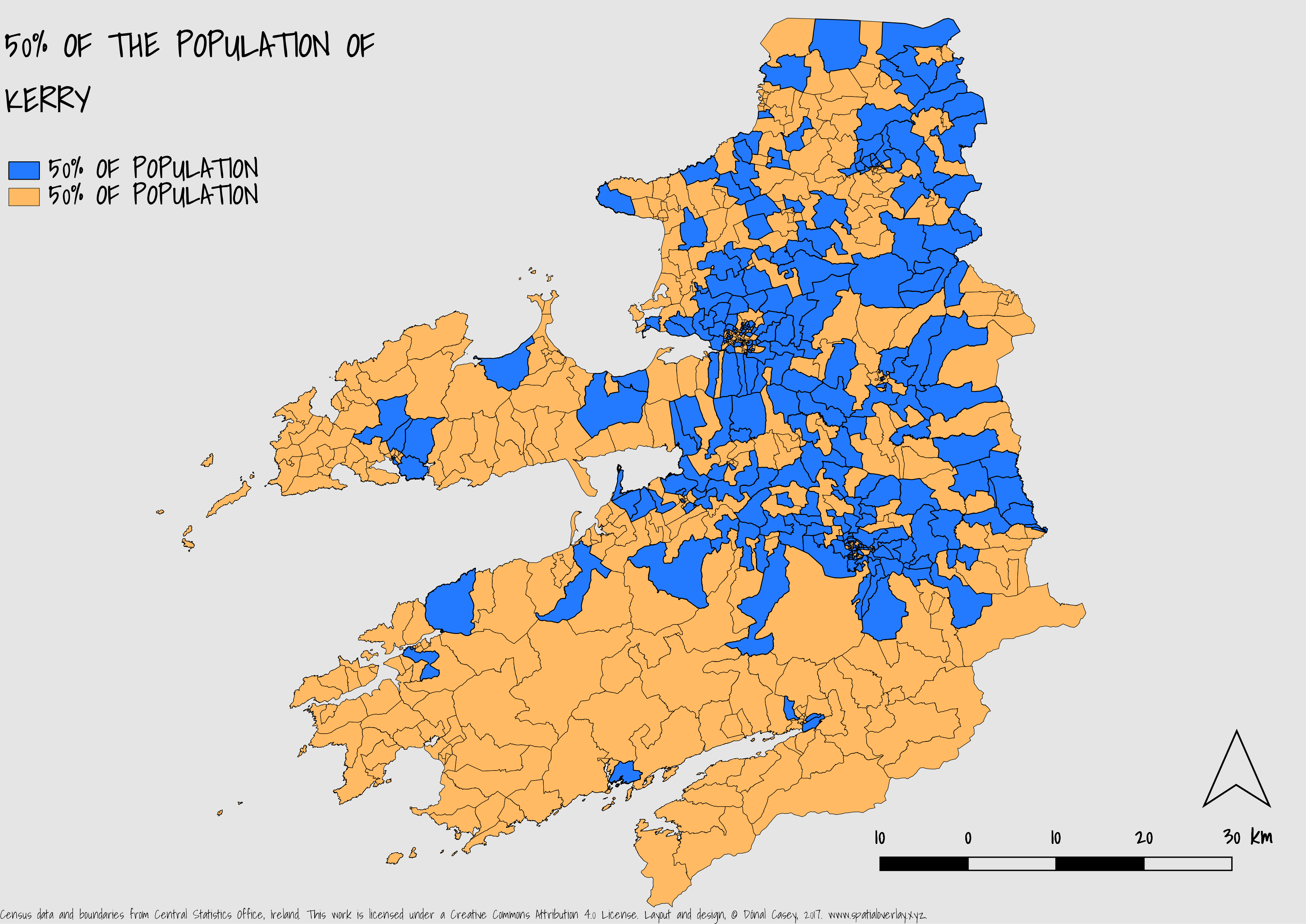
 The CSO released the results and geometry for the small areas (the largest scale available) on the 20th of July 2017 (available here). I downloaded all the data and used FME 2017 (with my shiny new home use licence) to join the geometry and CSVs and write it to PostGIS which was then brought into QGIS, definitely the quickest way to display the data. I used Google Fonts and Adobe Kuler. Below is a quick map I put together of my home county.